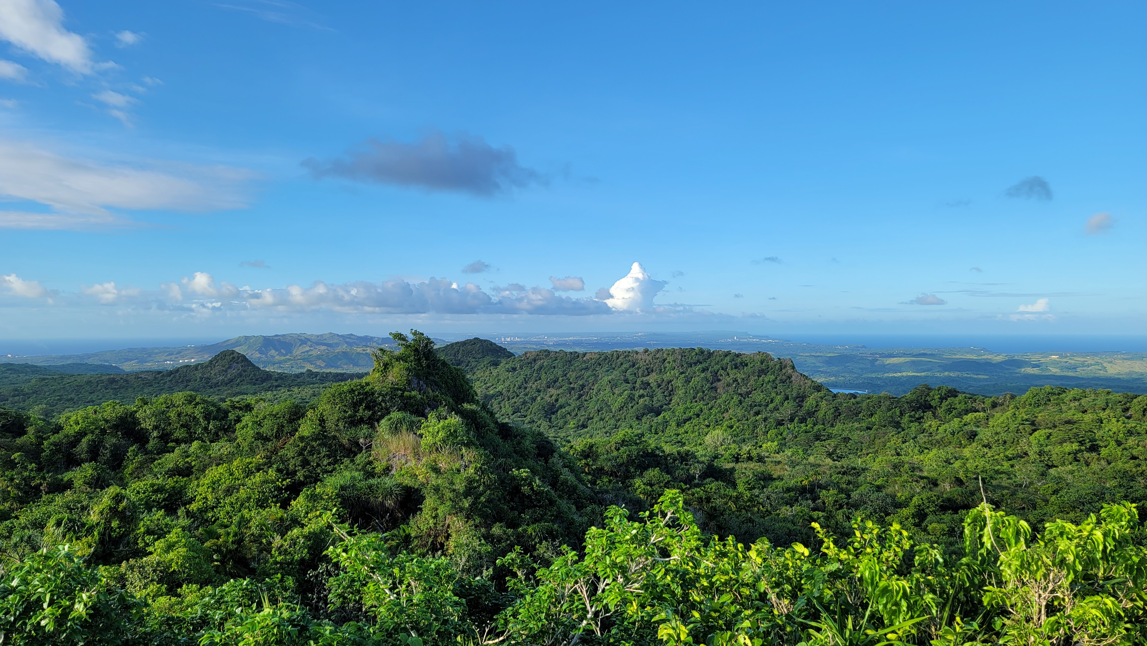
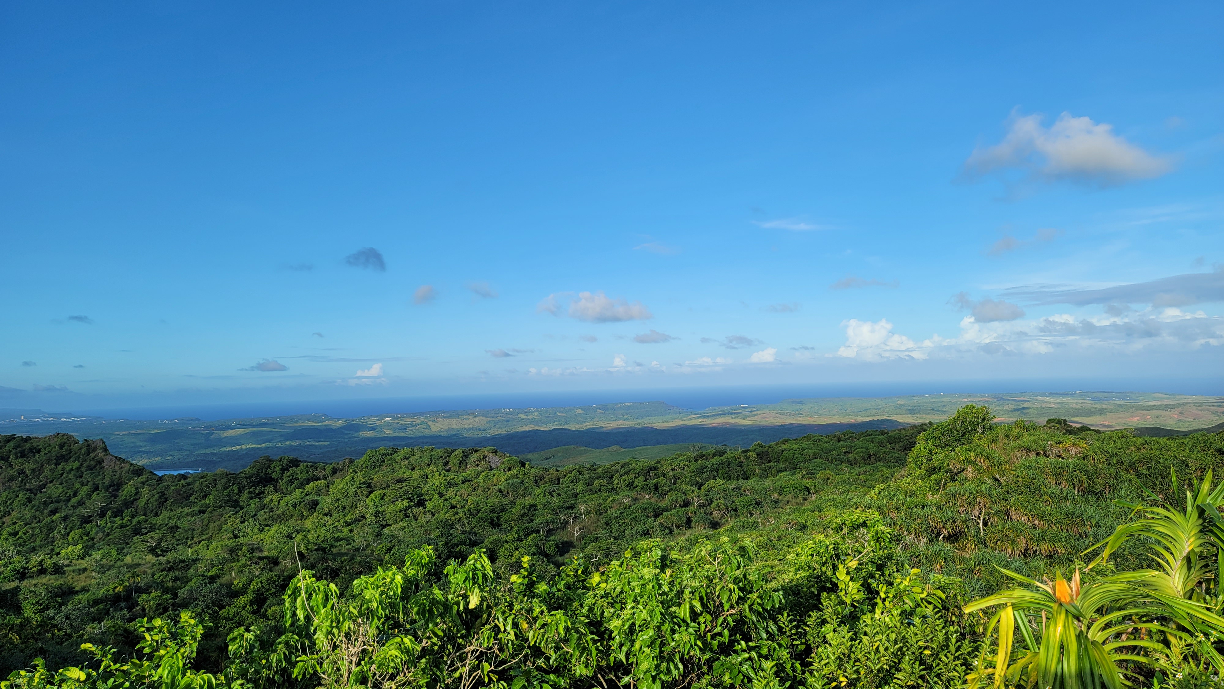
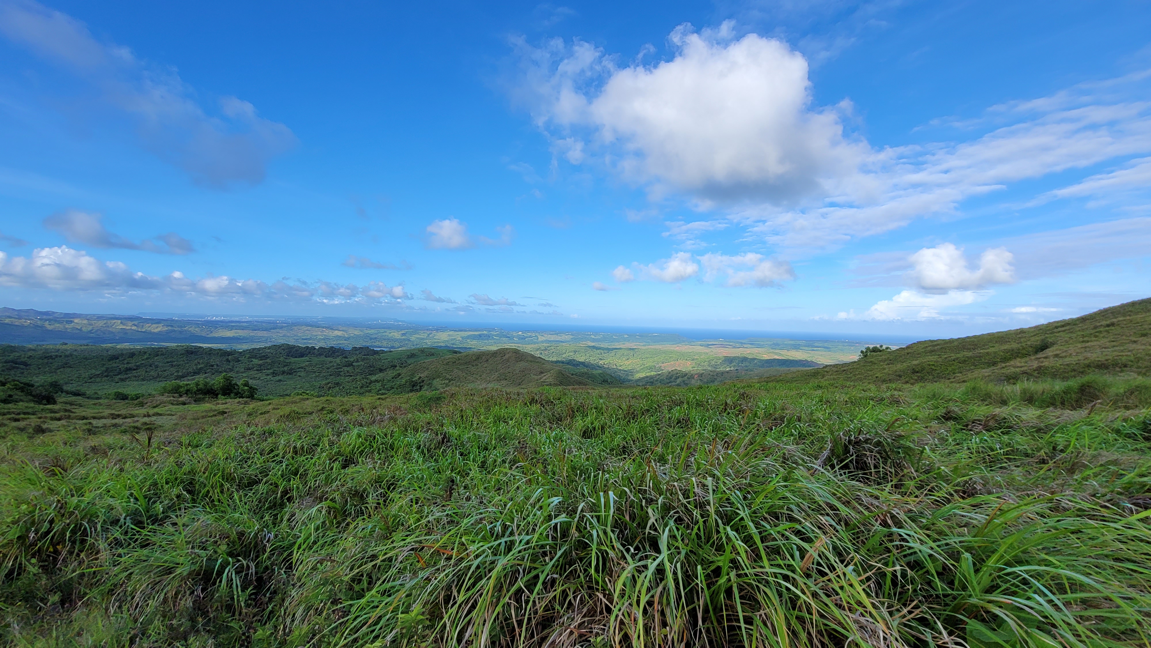
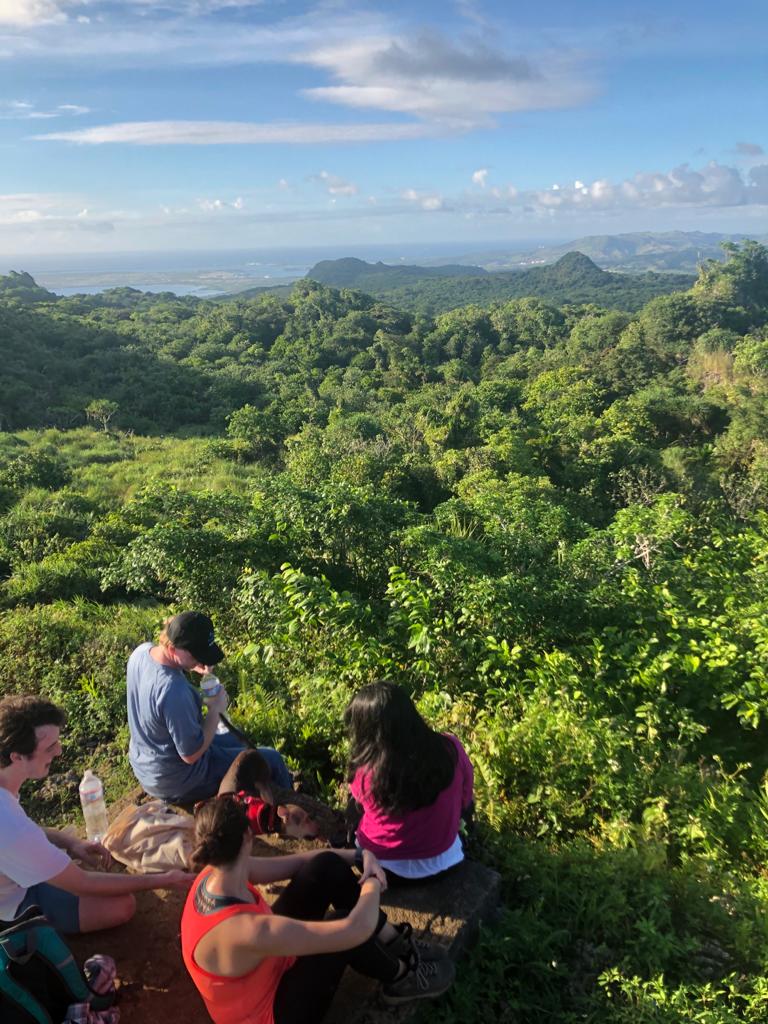
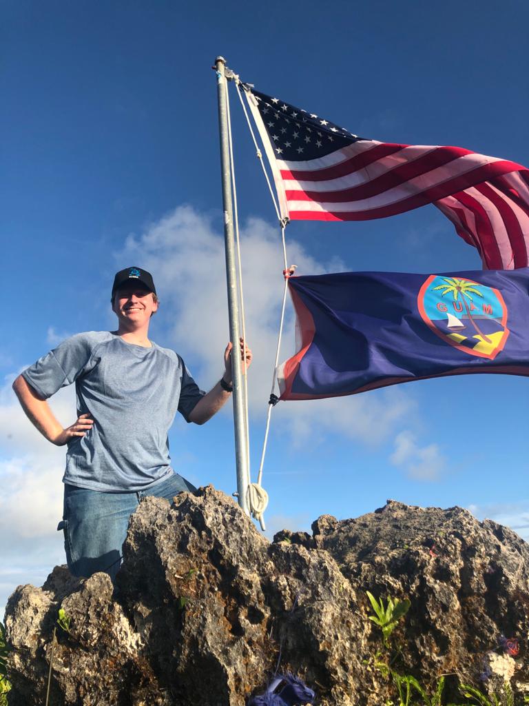
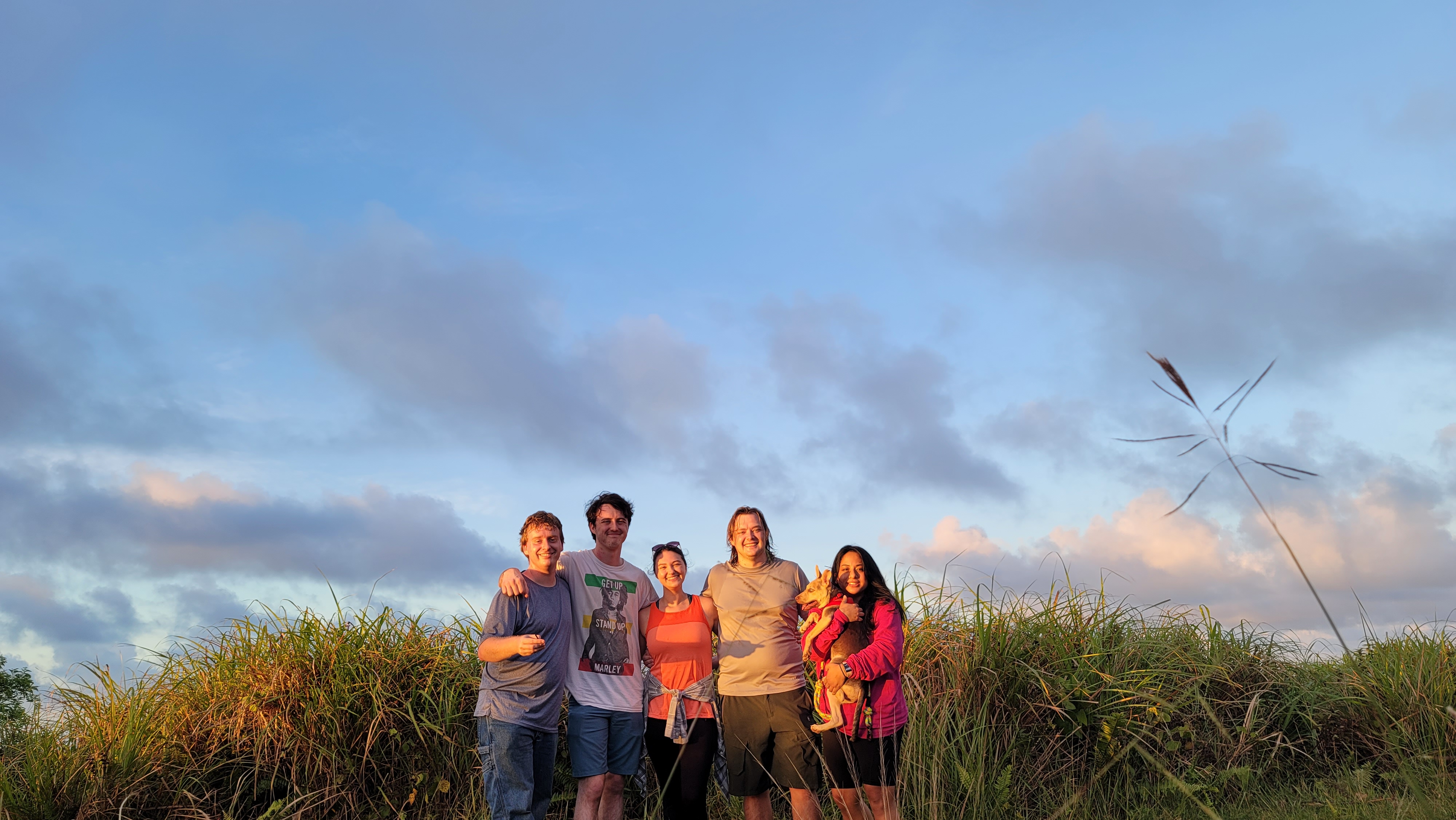
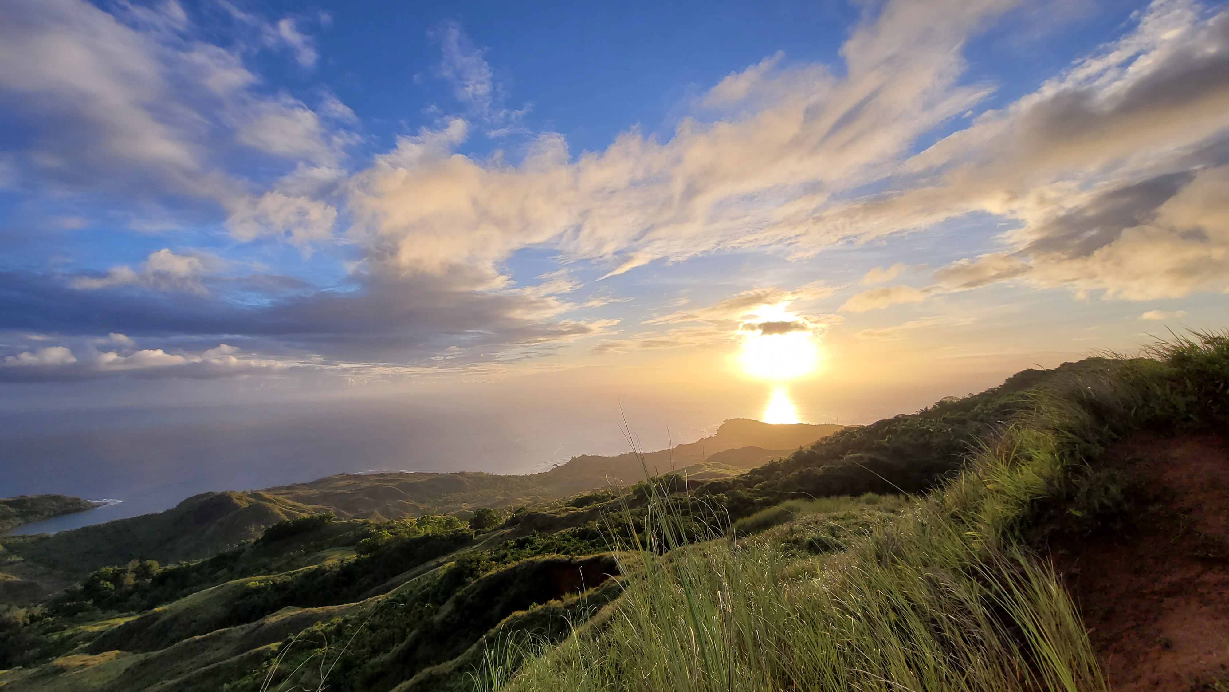
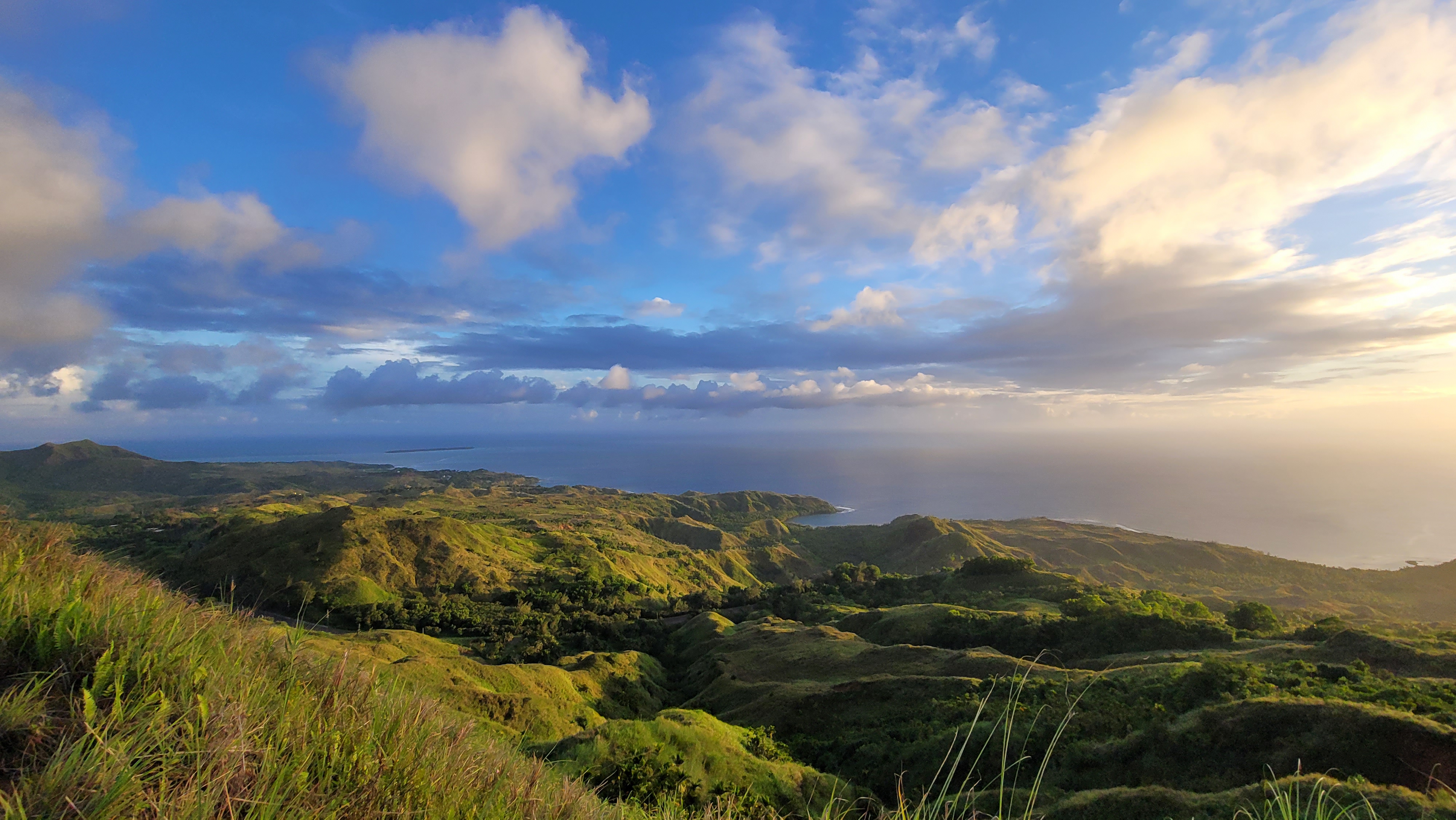
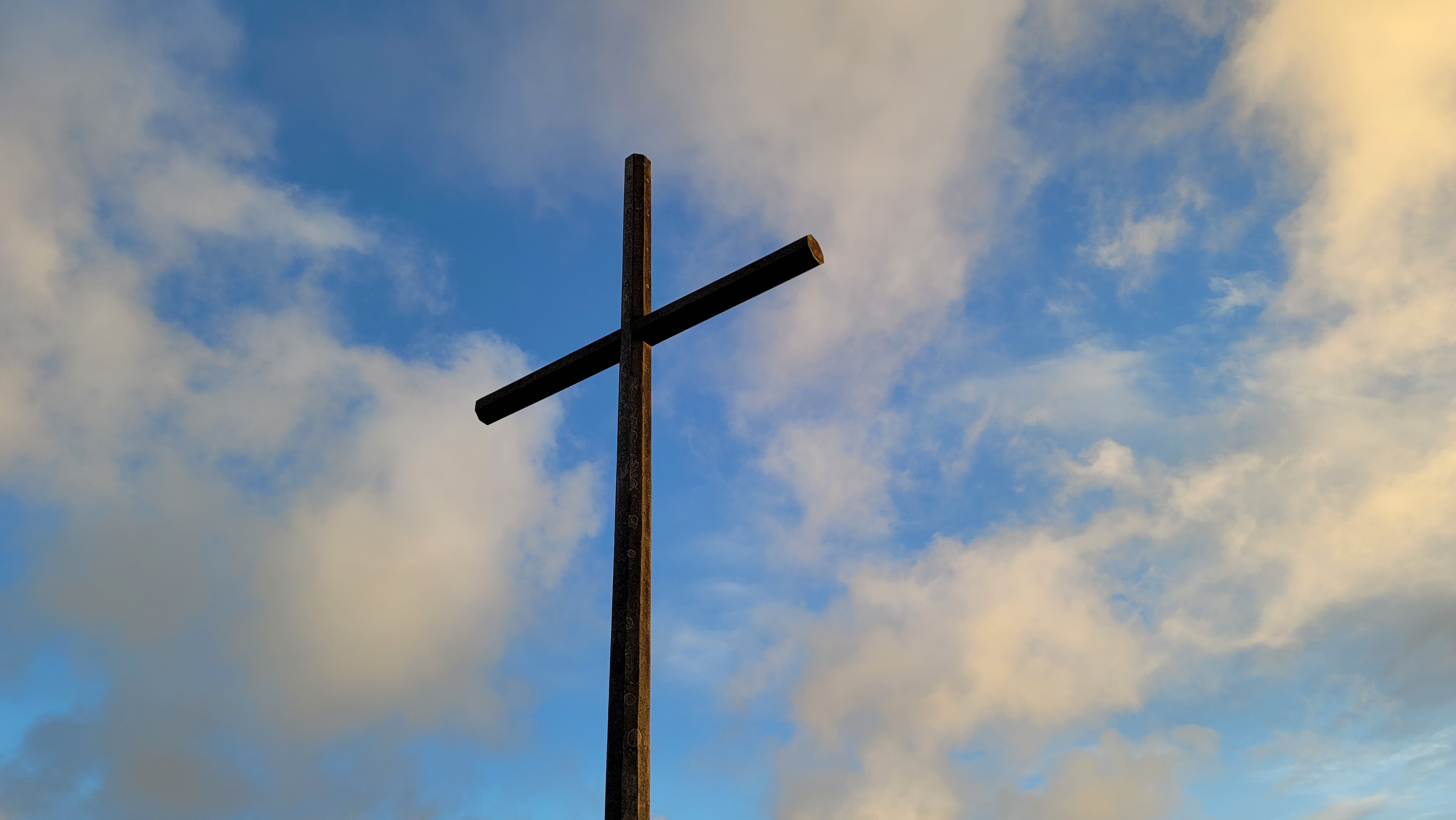
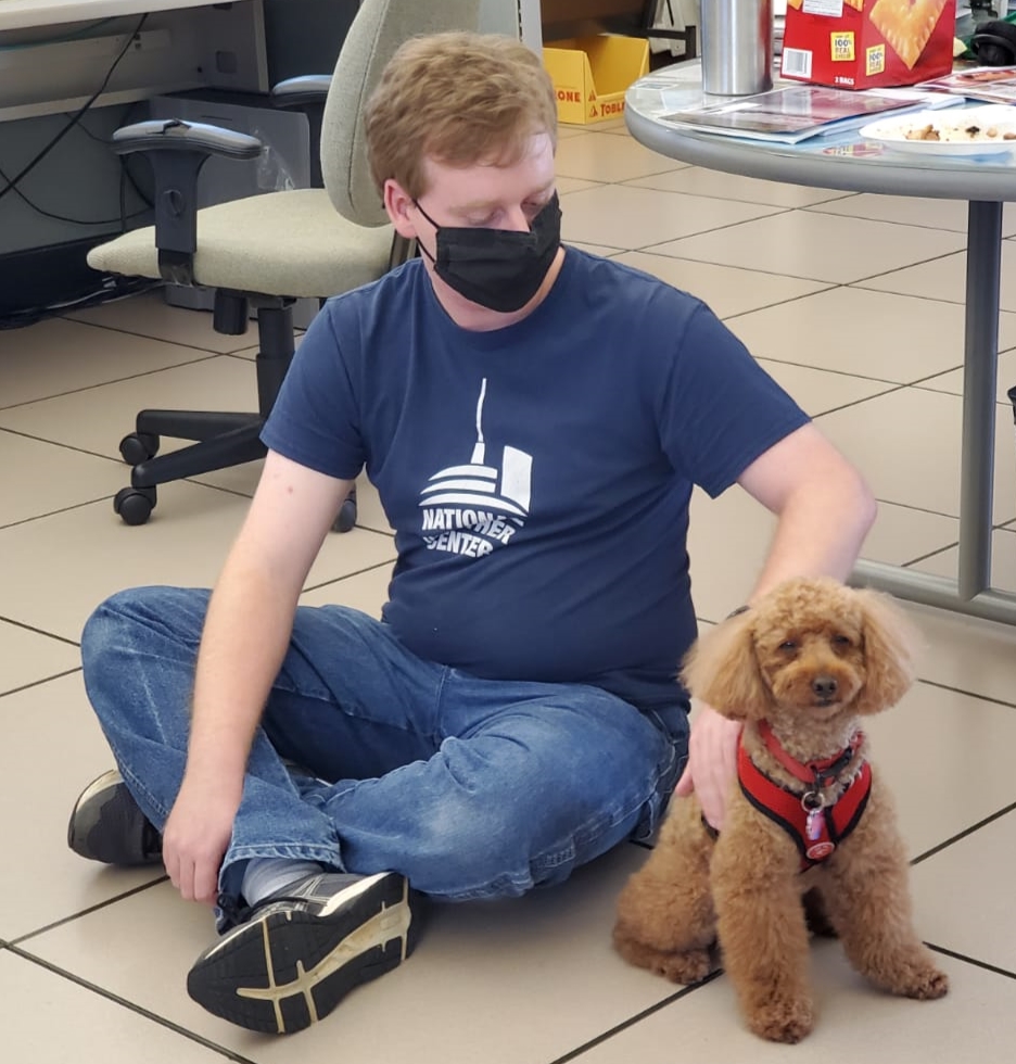
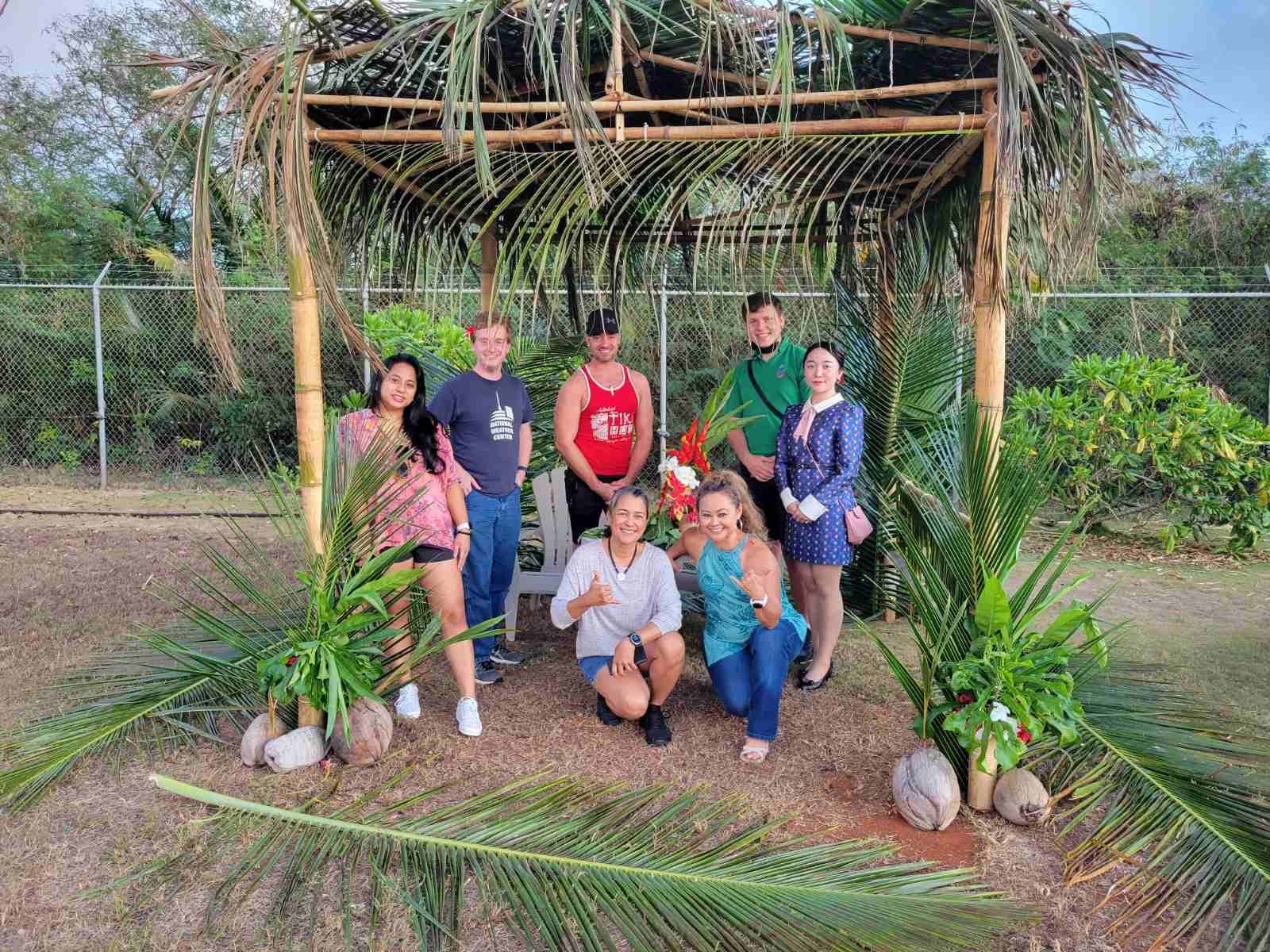
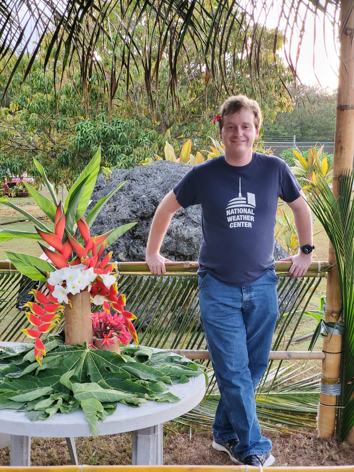
Hiking Mt. Lamlam (Take Two)
My First Experience with Tropical Weather: Champi
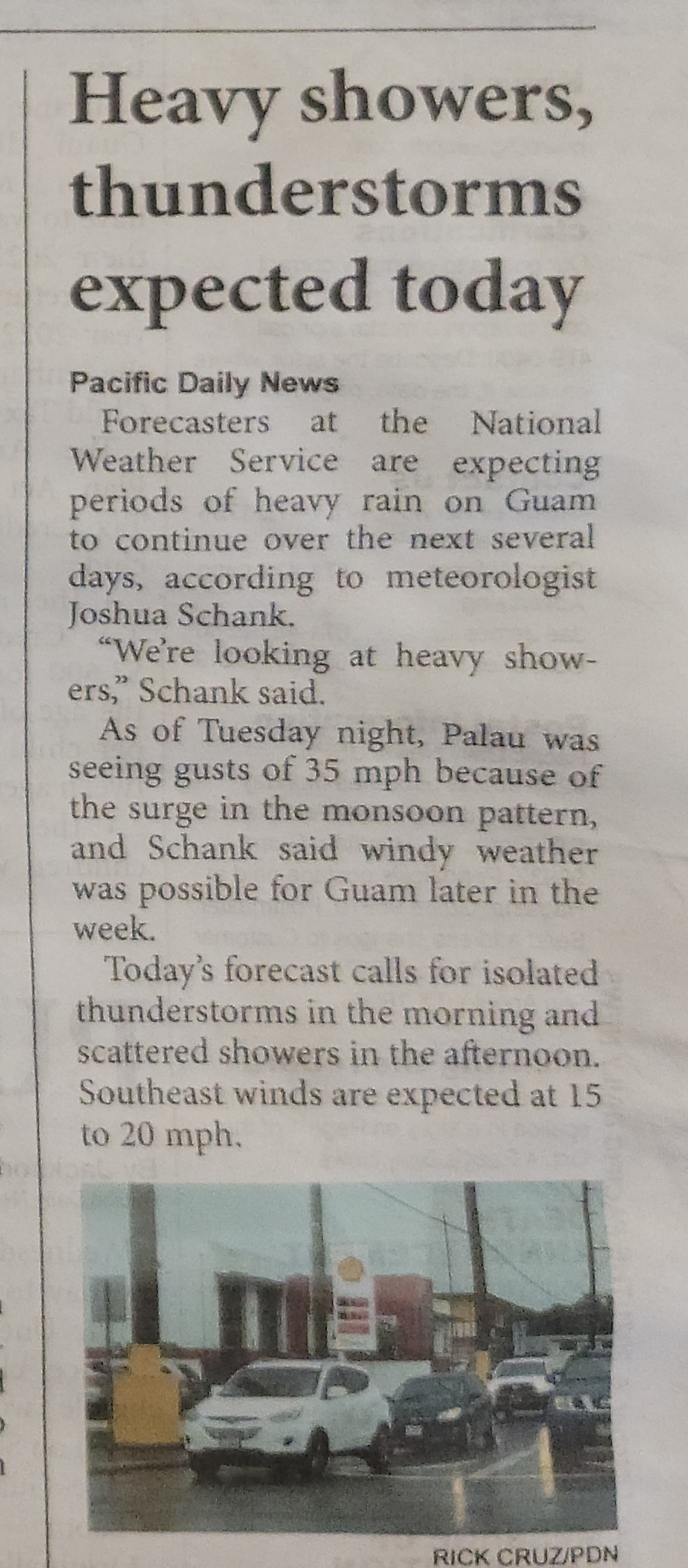
Going into work June 21st, Bruce, my friend and summer intern, and myself knew it was not going to be a typical day. The GFS model had been trying to spin up a strong circulation and bring it toward the Mariana islands. The ECMWF struggled to spin something up but during the weekend the two models started to converge on a weaker circulation that would travel close to Guam. I was scheduled for a flex shift which is designed so forecasters can work on side projects instead of forecasting, but can easily switch into operations mode if severe weather/tropical cylones threaten our area. Walking into the office that morning we started out with a briefing of the situation as the Joint Typhoon Warning Center (JTWC), based out of Pearl Harbor, was about to issue bulletins on what was now Tropical Depression 06W. Though I am still a forecaster in training and was not scheduled to be on a training shift, I quickly jumped in to observe how our lead forecaster, Brandon Aydlett, would shift the office into tropical cyclone mode and work with his brother and Warning Coordination Meteorologist (WCM), Landon Aydlett, to start communicating with the local governments and emergency manangers.
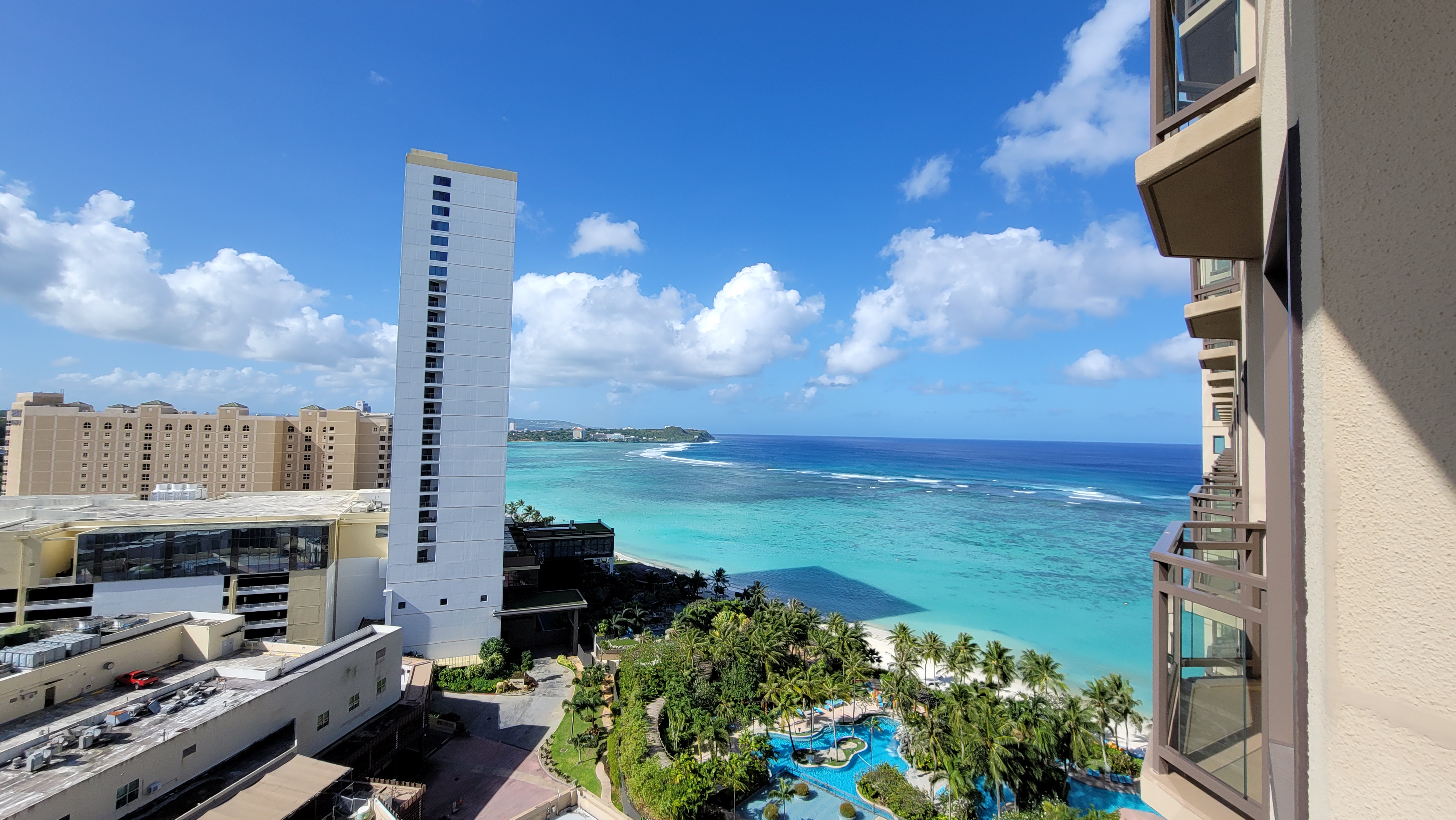
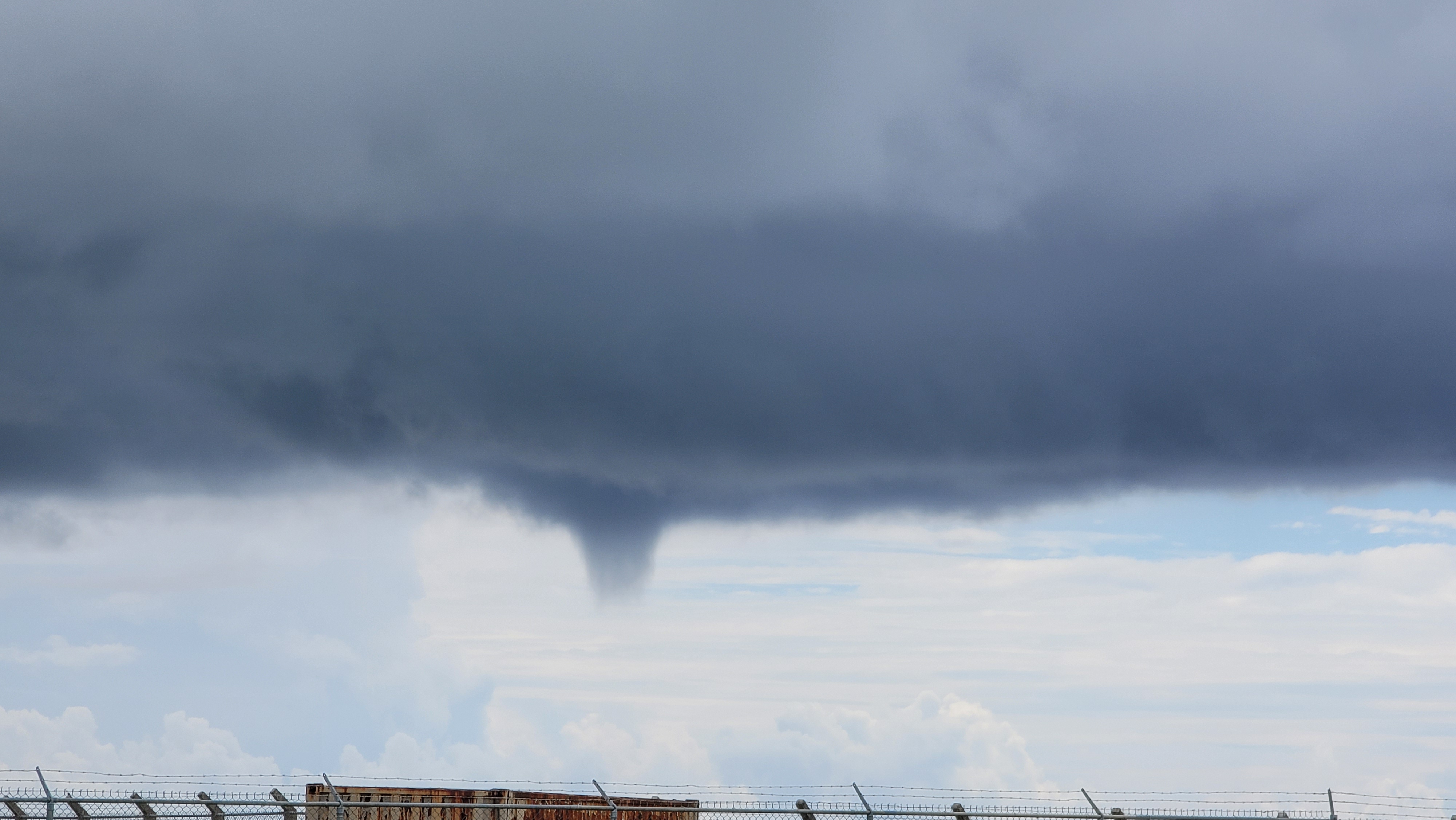
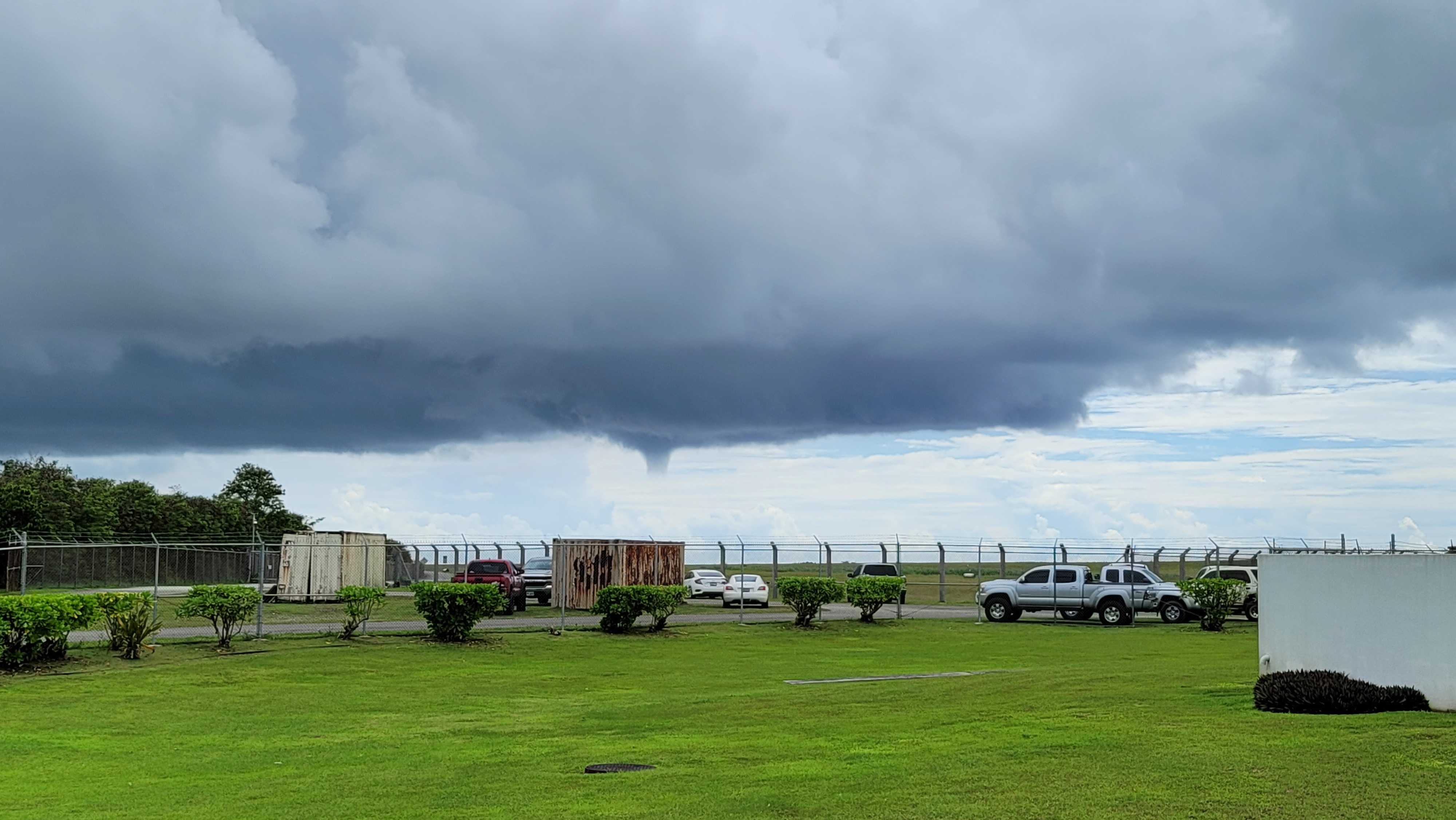
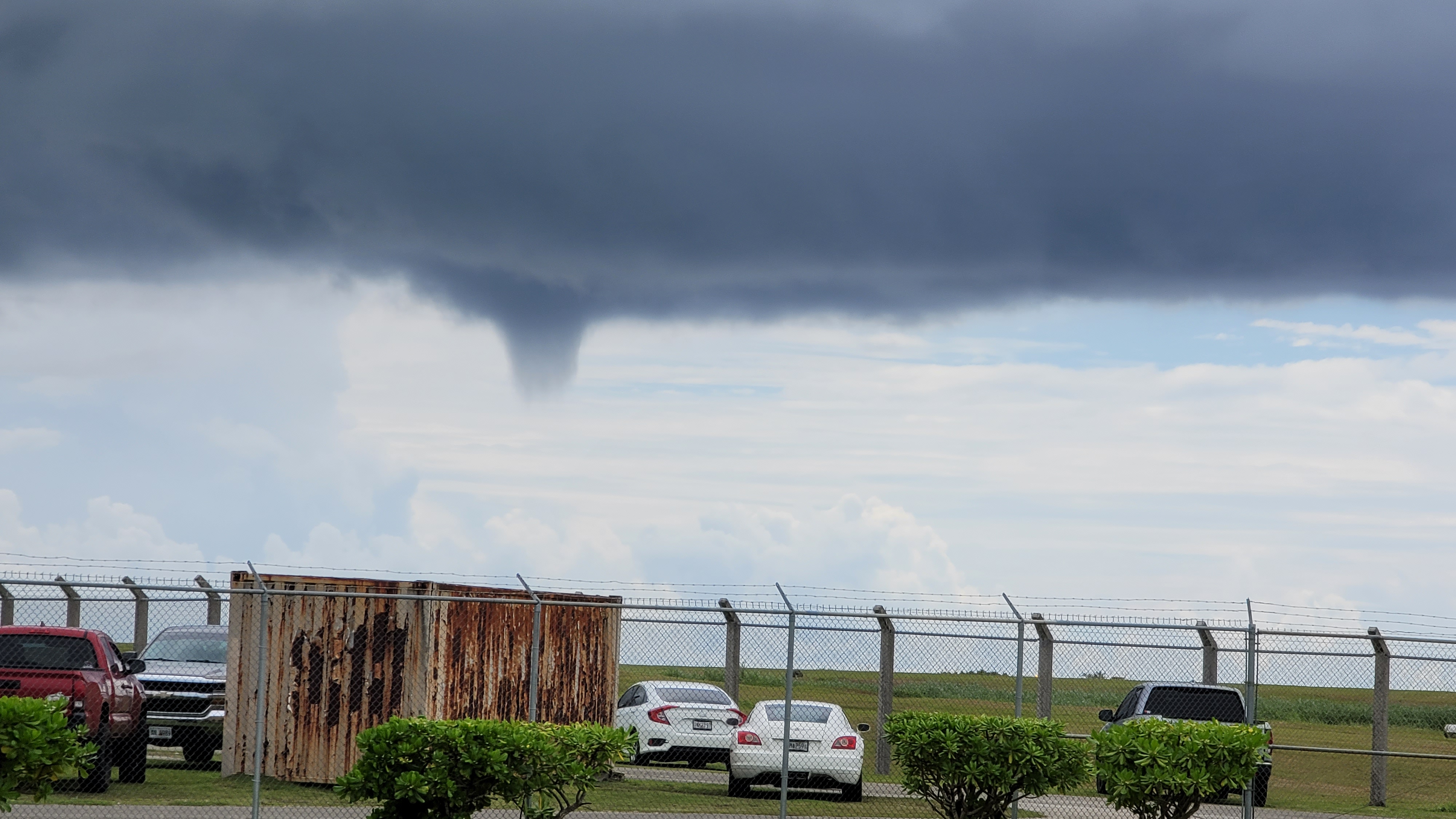
The JTWC bulletins that we received had the storm clipping our southern coastal waters and possibly strenghtening into a tropical storm. 06W was a small storm that was disorganized as convection was widespread and not contained near its center. The decision that had to be made was: Do we issue a tropical storm watch or warning and who should we include? If you look at the Marianas islands you see Guam is the southern most island with the main islands of Rota, Tinian, and Saipan to our north, respectfully. The office decided to place Guam in a tropical storm warning and only put Rota into a tropical storm watch as Tinian and Saipan would be to far north to feel the winds near the center of the storm, but the disorganized convection meant they would still see gusty winds and heavy rain if the current convection continued. We began by making the forecast products to communicate the watch and warning along with the impacts while also making social media post to compliment the offical products.
The new hires like Edwin and myself quickly made ourselves useful by answering phone calls that came into our office and relaying the latest watches and warnings along with the impacts people could expect through Tuesday evening. We also got the chance to watch Landon at work as he held briefings with Guam's governor, the emergency manangers of Guam and CNMI, and our other partners to help them get the lastest information so they could make their decisions base on what we thought Tropical Depression 06W would do. Since 06W was heading towards Guam's waters we made the decision around 9 PM to turn on our radar that has been in standby due to the need for maintaince. To our delight the radar work throught the event before we turned it off on Tuesday around 4PM. Also, during tropical events near Guam, we also increase our daily balloon launches from every 12 hours to every 6 hours. This means that someone had to launch a balloon around 3 AM in the morning and Isa, another new hire at the office, had the honor to do our first 3 AM launch for 2021 and Bruce volunteered to stay overnight with her to record her launch.
Now I could write several posts about my experiences from Monday through Tuesday, but I will say I got to see first hand how difficult it is to forecast tropical cyclones and how to effectively communicate our forecasts to the public. Tropical Depression 06W never became a tropical storm while in our waters but after it passed Guam it finally became Tropical Storm Champi. I felt we did a great job with Champi overall and I was proud to be part of the day shifts on Monday and Tuesday and that I experienced this event while in training.